Search
Malaria imposes a significant global health burden and remains a major cause of child mortality in sub-Saharan Africa. In many countries, malaria transmission varies seasonally. The use of seasonally-deployed interventions is expanding, and the effectiveness of these control measures hinges on quantitative and geographically-specific characterisations of malaria seasonality.
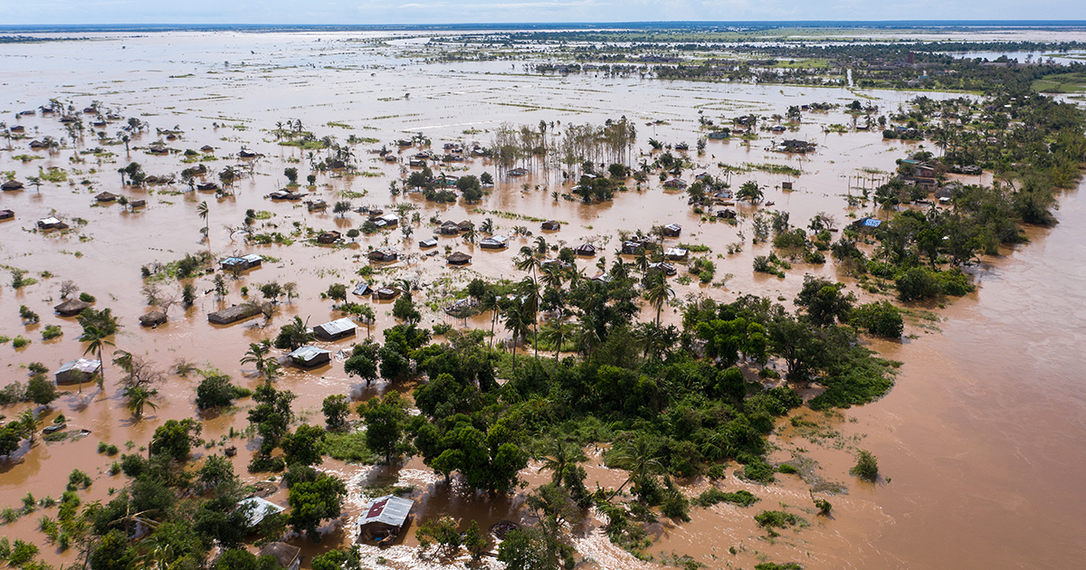
World-first research from The Kids Research Institute Australia and Curtin University predicts climate change could trigger more than 100 million additional malaria cases and 500,000 additional deaths in Africa by 2050, including substantial impacts on children.

Research to eliminate one of the world’s deadliest diseases – malaria – will be accelerated thanks to a USD $4.7 million grant from the Gates Foundation for scientists at The Kids Research Institute Australia and The University of Western Australia (UWA).
HIV, tuberculosis (TB) and malaria are the three most important infectious diseases in Ethiopia, and sub-Saharan Africa. Understanding the spatial codistribution of these diseases is critical for designing geographically targeted and integrated disease control programmes. This study investigated the spatial overlap and drivers of HIV, TB and malaria prevalence in Ethiopia.
As malaria incidence decreases and more countries move towards elimination, maps of malaria risk in low-prevalence areas are increasingly needed. For low-burden areas, disaggregation regression models have been developed to estimate risk at high spatial resolution from routine surveillance reports aggregated by administrative unit polygons.
New malaria vaccine development builds on groundbreaking recommendations and roll-out of two approved pre-erythrocytic vaccines (PEVs); RTS,S/AS01 and R21/Matrix-M. Whilst these vaccines are effective in reducing childhood malaria within yearly routine immunization programs or seasonal vaccination, there is little evidence on how different PEV efficacies, durations of protection, and spacing between doses influence the potential to avert uncomplicated and severe childhood malaria.
Since its inception in 2005, the US President's Malaria Initiative (PMI) has played a major role in the reductions in malaria morbidity and mortality observed across Africa. With the status of PMI funding and operations currently uncertain, we aimed to quantify the impact that a fully functioning PMI would have on malaria cases and deaths in Africa during 2025.
In high-transmission areas, school-aged children have higher malaria prevalence and contribute significantly to the transmission reservoir. Malaria infections can be asymptomatic or present with symptoms which may contribute to anaemia, severe illness and fatal malaria. This analysis provides trends of malaria prevalence and associated risk factors among school-aged children in mainland Tanzania.
Malaria incidence (MI) has significantly declined in Nepal, and this study aimed to investigate the spatiotemporal distribution and drivers of MI at the ward level. Data for malaria cases were obtained from the National Surveillance System from 2013 to 2021. Data for covariates, including annual mean temperature, annual mean precipitation, and distance to the nearest city, were obtained from publicly available sources. A Bayesian spatial model was used to identify factors associated with the spatial distribution of MI.
The clinical development of novel vaccines, injectable therapeutics, and oral chemoprevention drugs has the potential to deliver significant advancements in the prevention of Plasmodium falciparum malaria. These innovations could support regions in accelerating malaria control, transforming existing intervention packages by supplementing interventions with imperfect effectiveness or offering an entirely new tool.